

Gauteng braces for severe thunderstorms from Tuesday
The South African Weather Service has issued a Yellow Level 2 warning for severe thunderstorms, with potentially disruptive weather expected across parts of the eastern and central interior from Tuesday.
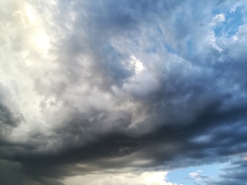
Forecaster Lehlohonolo Thobela said residents in Gauteng and surrounding provinces should prepare for a combination of cold temperatures, rain and thunderstorms, with the possibility of localised flooding, damaging winds and hail.
Thobela said the warning covers much of the eastern parts of the country, including Gauteng, the eastern parts of the North West, western Limpopo and the Mpumalanga Highveld.
“Currently we have a yellow level 2 warning of severe thunderstorms. And that's mainly over most parts of the eastern areas.”
The warning is expected to extend into more areas from Tuesday, including parts of the North West and potentially the eastern Northern Cape.
According to Thobela, Tuesday is expected to bring cloudy and cold conditions across much of the eastern interior, with temperatures dropping as scattered showers and thundershowers move through.
He warned that some thunderstorms could bring more than just rainfall, with potentially damaging weather accompanying the storms.
“There is a chance of thunderstorms that are expected to result in damaging winds, hail, as well as the possibility of heavy downpours that may lead to localised flooding.”
The central interior, including Gauteng and parts of the eastern North West and Free State, is among the areas that could be affected, while the Mpumalanga Highveld is also expected to experience stormy conditions.
While the weather is expected to remain unsettled into Wednesday, Thobela said the weather conditions should begin improving from Thursday afternoon.
Temperatures are expected to start recovering from Friday as the weather system moves away.
He explains that the conditions are being influenced by a high-pressure system moving into the eastern parts of the country, following a cold front that has moved south of the country.
“It's mainly because of the high pressure system and an upper air weather system that's assisting to result in those thunderstorms.”
Despite the short-term cold spell, the seasonal outlook points to warmer conditions later in spring and into summer with Thobela adding that above-normal temperatures are expected during that period, although thunderstorms could temporarily bring cooler conditions.
“The seasonal forecast is expecting above normal temperatures for end of spring into summer.”
He says spring will continue to bring opportunities for isolated to scattered showers and thundershowers, with some storms potentially becoming more widespread.
ALSO READ
