Weather causes snowball effect
Have you seen these
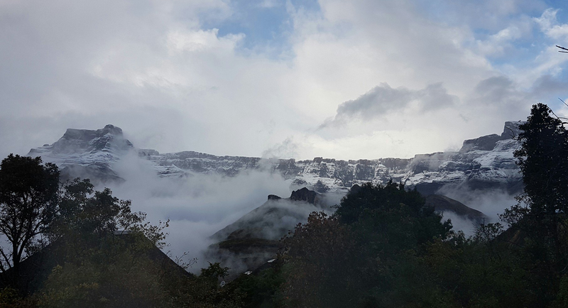
pretty pictures of snow-capped mountains?
Brace yourself, we’re in for a cold weekend after some snowfall in the Western Cape.
Twitter users, including Snow Report SA, have shared photos of the snow.
It’s going to have a domino effect on the rest of the country, with temperatures dropping in Gauteng from Sunday, according to the South African Weather Service.
Love the blood-red and the Snow. McGregor, Western Cape. Pic taken this afternoon. pic.twitter.com/RK4ETB1Aew
— Liny Kruger (@Liny_Kruger) July 9, 2017
Snow makes us feel like kids and we love having white peaks as a ziplining backdrop! ❄️⛄️❄️
— Cape Canopy Tour (@CapeCanopyTour) July 11, 2017
Just another #wowSouthAfrica Tuesday... pic.twitter.com/MEsAOVxo9B
Snow in the Western Cape, over the mountains near Somerset West. 🙌
— Nkocnathi Mabhuma (@Nkocnathi_) July 9, 2017
There must be snow on the mountains can feel it in Cape Town ❄☃
— Stephen Howarth (@cape365) July 11, 2017